Free shipping on orders over $99
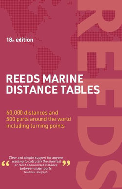
Reeds Marine Distance Tables 18th Edition

Reeds Marine Distance Tables 18th Edition

by Miranda Delmar-Morgan and Kendall Carter
Paperback
Publication Date: 04/06/2024

Share This Book:

31%
OFF
RRP  $70.00

RRP means 'Recommended Retail Price' and is the price our supplier recommends to retailers that the product be offered for sale. It does not necessarily mean the product has been offered or sold at the RRP by us or anyone else.

$48.50
or 4 easy payments of $12.12 with
afterpay

Reeds Marine Distance Tables are the perfect ready-reckoner for captains, navigators and owners of merchant and cruise ships large and small wanting a quick and accurate distance reference between all the regularly used commercial ports around the world. They are also of increasing value to the superyacht fleet.

The book is divided into key 'market areas', and includes a pull-out map for area identification and easy see-at-a-glance port reference. Traffic Separation Schemes are calculated into the tables whilst the distance to any port not included can easily be determined by making an approximation from the next closest port. Useful tables of major 'turning points' around the world (such as Cape Finisterre, Cape Horn and the Dover Straits), Transatlantic distances, world time zones, and time and speed conversion tables are also included.

As well as incorporating general updates and improvements, this edition has been expanded to include more Indian Ocean ports, routes reflecting the increasing role of China in international shipping, as well as inter-distance tables for the Adriatic and Aegean. Freighter movements, cargo tonnage and cruise ship destinations have all been factored into considering details on the top ten busiest ports worldwide.

Reeds Marine Distance Tables
are an invaluable reference for ship owners, operators, brokers, navigators and superyacht skippers. Using this one reference, anyone can calculate the shortest or most economical distances between all the major ports in the world.

ISBN:
9781399412414
9781399412414
Category:
Geographical reference
Format:
Paperback
Publication Date:
04-06-2024
Language:
English
Publisher:
Bloomsbury Publishing PLC
Country of origin:
United Kingdom
Dimensions (mm):
215.9x139.95x16.51mm
Weight:
0.44kg
Kendall Carter

Kendall Carter was the pilot for HMS Ark Royal between 1991 and 1994, and also ran the Royal Navy's Navigation School. He was later harbour master for Portsmouth Harbour, and is now based in Australia, where he acts as a consultant for the Port Authority of New South Wales (Sydney). He is a Fellow of the Nautical Institute.

This title is in stock with our Australian supplier and should arrive at our Sydney warehouse within 1 - 2 weeks of you placing an order.

Once received into our warehouse we will despatch it to you with a Shipping Notification which includes online tracking.

Please check the estimated delivery times below for your region, for after your order is despatched from our warehouse:

ACT Metro: 2 working days
NSW Metro: 2 working days
NSW Rural: 2-3 working days
NSW Remote: 2-5 working days
NT Metro: 3-6 working days
NT Remote: 4-10 working days
QLD Metro: 2-4 working days
QLD Rural: 2-5 working days
QLD Remote: 2-7 working days
SA Metro: 2-5 working days
SA Rural: 3-6 working days
SA Remote: 3-7 working days
TAS Metro: 3-6 working days
TAS Rural: 3-6 working days
VIC Metro: 2-3 working days
VIC Rural: 2-4 working days
VIC Remote: 2-5 working days
WA Metro: 3-6 working days
WA Rural: 4-8 working days
WA Remote: 4-12 working days

Reviews

Be the first to review Reeds Marine Distance Tables 18th Edition.