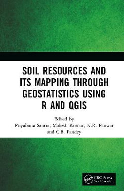
This book will provide an exposure to recent developments in the field of geostatistical modeling, spatial variability of soil resources, and preparation of digital soil maps using R and GIS and potential application of it in agricultural resource management.
Please note: This title is co-published with New India Publishing Agency, Delhi. Taylor & Francis does not sell or distribute the Hardback in India, Pakistan, Nepal, Bhutan, Bangladesh and Sri Lanka
- ISBN:
- 9780367340520
- 9780367340520
-
Category:
- Biology
- Format:
- Hardback
- Publication Date:
-
15-07-2019
- Language:
- English
- Publisher:
- CRC Press LLC
- Country of origin:
- United States
- Dimensions (mm):
- 228.6x152.4mm
This title is in stock with our Australian supplier and should arrive at our Sydney warehouse within 2 - 3 weeks of you placing an order.
Once received into our warehouse we will despatch it to you with a Shipping Notification which includes online tracking.
Please check the estimated delivery times below for your region, for after your order is despatched from our warehouse:
ACT Metro: 2 working days
NSW Metro: 2 working days
NSW Rural: 2-3 working days
NSW Remote: 2-5 working days
NT Metro: 3-6 working days
NT Remote: 4-10 working days
QLD Metro: 2-4 working days
QLD Rural: 2-5 working days
QLD Remote: 2-7 working days
SA Metro: 2-5 working days
SA Rural: 3-6 working days
SA Remote: 3-7 working days
TAS Metro: 3-6 working days
TAS Rural: 3-6 working days
VIC Metro: 2-3 working days
VIC Rural: 2-4 working days
VIC Remote: 2-5 working days
WA Metro: 3-6 working days
WA Rural: 4-8 working days
WA Remote: 4-12 working days


Share This Book: